
Why Drones Should Be Added to Your Workflow or Services

Time and Efficiency
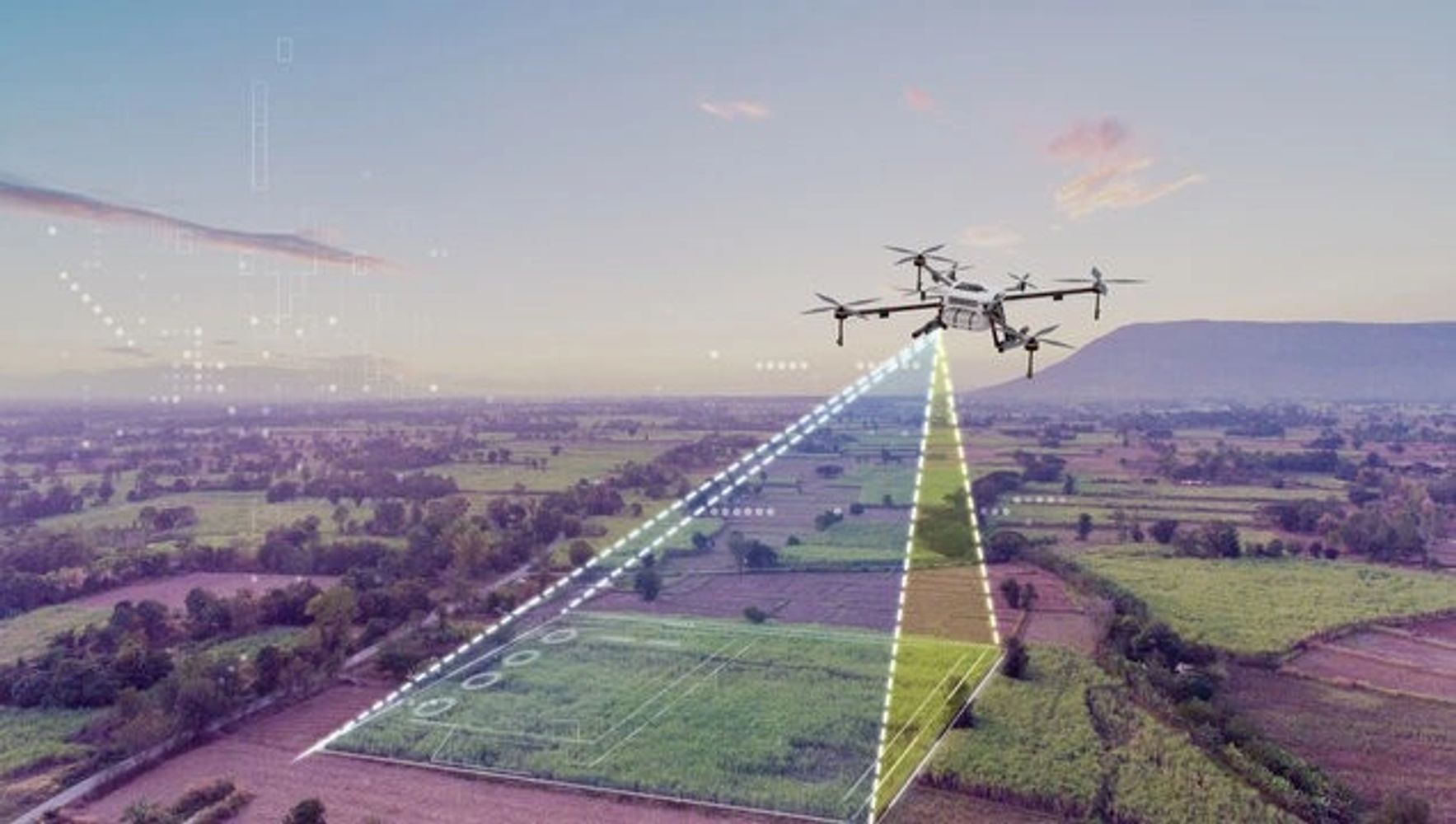
Drones are able to mobilize and cover a lot of ground very quickly. This allows data acquisition of a 15 acre property to be obtained in a 15-30 minute flight depending on the drone and other flight configurations.
Safety
As surveyors you know that there are times, sites, and instances where it is difficult to obtain information due to topography or other site characteristics. Drones are not effected by what is on the ground, with a few exceptions, so they will be able to collect the information all while keeping employees and consultants safe.
Great form of documentation or records
Even if you fly your drones at every survey location but do not process the data or use it, the flight missions will typically take hundreds of photos which will all be high resolution and can be referenced later. If a field crew does miss some important locations, it is then possible to process the images and to extract data without the need for a second visit.
Obtaining More information than may be needed
Most flights and mapping missions will result in point clouds in the millions. This is due to it being easy to generate a GSD (Ground Sampling Distance, or distance between points) of about a half an inch.
Cost Effective
When a property is above the 3-5 acre mark, it can cost about the same time to fly the drone and extract all of the needed information and prepare a work map as it will take a field crew to complete all required field locations. Properties in the 15 acre range and above the benefits of a drone survey really start to shine.
Why Choose Connecticut Aerial Drone Surveys
Accuracy Guaranteed
At Connecticut Aerial Drone Surveys, we use the latest technology and techniques to ensure accurate and precise results.
Customized Solutions
With over 12 years of Surveying and Site Development experience, we know that every job and property is unique. We are able to adapt to assist the design professionals with job specific solutions.
Frequently Asked Questions
Please reach out to us via email, chat, or phone if you cannot find an answer to your question.
As a property owner, no. You will need to talk with a local land surveyor. We only offer very limited services to property owners that are related to site civil engineering. If you need a property survey we can help direct you to a local surveyor.
We offer assistance to design professionals looking to utilize drones in their business as well as some other services for select cliental.
The short answer is that it depends on the service(s) being requested. Typically, drone flights are dependent on FAA authorizations so a flight can be completed in as little as one day or it could take up to 30 days. Delivery of processed data will be determined by the size of the project and our current workload, but typically 2-3 weeks can be expected.
If you have specific time line requirements please let us know and we will work with you to accommodate.
Contact Us
Connecticut Aerial Drone Surveys
Hours
Open today | 09:00 am – 07:00 pm |
Subscribe
Sign up to hear from us.
CT Aerial Drone Surveys
Ctaerialdronesurveys@gmail.com
Copyright © 2024 Connecticut Aerial Drone Surveys - All Rights Reserved.
Powered by GoDaddy

Now Offering Drone Lidar Services!!!
CT Aerial Drone Surveys is now offering Drone Lidar services to help assist obtaining topography in those tough to reach areas.
This website uses cookies.
We use cookies to analyze website traffic and optimize your website experience. By accepting our use of cookies, your data will be aggregated with all other user data.
